The UN Mapper of the month - October 2023
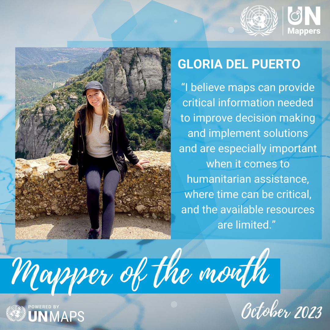
Introducing our October 2023 Mapper of the Month: Gloria Del Puerto! Hailing from Paraguay, Gloria is an accomplished environmental engineer with a passion for GIS (Geographic Information Systems) and cartography. She participated in our English global training, making a significant contribution to mapping and continuing her activity in the following months. Let us read her story!
Tell us a bit about yourself.
My name is Gloria. I have a bachelor's degree in environmental engineering from the National University of Asunción, Paraguay. Since college, GIS and cartography became strong interests of mine because I learned how powerful these tools were to understand our surrounding environment and produce sustainable solutions.
How did you know about UN Mappers?
Earlier this year I learned about UN mappers through social media. I read on X (formerly Twitter) about the "OpenStreetMap and humanitarian mapping" training and thought it was a wonderful opportunity to learn more and dedicate myself to do something I enjoy (that is mapping) while helping humanitarian missions.
You participated in our global training in English. How did it seem to you? Which topic did you find the most interesting?
The training was great, and the team was so supportive, always answering our doubts and questions. Special thanks to Severin who took the time to give us helpful feedback after reviewing our assignments.
Regarding the most interesting topic, I would say that I was amazed by learning how OSM has evolved throughout all these years to build the online infrastructure that is being used today to map and aid organizations, like the UN, and their missions. It is incredible how well organized the system is at such a big scale, with so many volunteers, and ongoing emergencies and campaigns to contribute to.
When do you map? (Weekends, free time, in your working time?)
I usually map in my free time. I try to be consistent to support the different UN campaigns as much as I can.
Do you enjoy mapping? Why?
I enjoy it because you can learn and gather a lot of information about any region in the world in a shorter period, making data collection and analysis easier. I believe maps can provide critical information needed to improve decision making and implement solutions in support of resource management, environmental conservation, disaster risk reduction among other areas, and are especially important when it comes to humanitarian assistance, where time can be critical and the available resources limited, so there is an urgency for organizations to be well prepared for their missions.
In which countries do you map the most?
The ones I have mapped the most so far are Kenya, Somalia, and the DRC (Democratic Republic of Congo) (Democratic Republic of the Congo), and recently I contributed to Morocco.