The UN Mapper of the month - August 2023
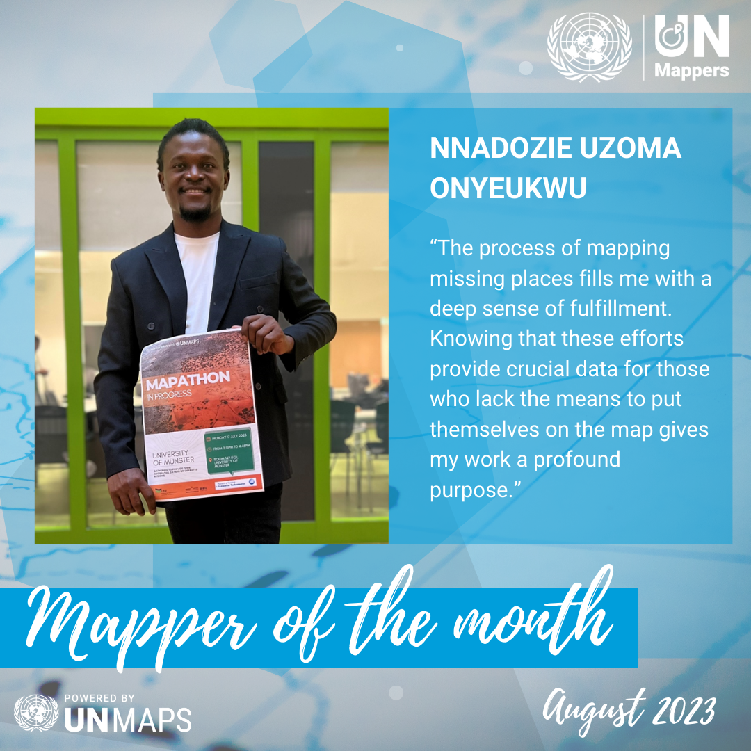
Our Mapper of the month for August 2023 is Nnadozie Uzoma Onyeukwu. He is nigerian geospatial intelligence analyst with expertise in GIS, currently based in Germany.
Nnadozie has a Bachelor's in Urban Planning, and he is pursuing an Erasmus Mundus Master's in Geospatial Technology. He recently organized a mapathon at the Institute for Geoinformatics (IFGI) in Münster to map the road network in Somalia.
Tell us a bit about yourself.
I am a result-oriented geospatial intelligence analyst with experience in Geographic Information Systems (GIS), digital cartography, slum data mapping, aerial topographic survey mapping, drone piloting, UAV/satellite image processing/analysis, and GPS data collection. I hold a Bachelor's degree in Urban and Regional Planning, a level 1 small UAV pilot license, and a professional membership with the Geoinformation Society of Nigeria. Currently, I am a master's student enrolled in the prestigious Erasmus Mundus Master in Geospatial Technology program with a passion for making global impact through the contribution of open spatial data. I love flying drones as well.
How did you know about UN Mappers?
I discovered UN Mappers back in 2020 through a tweet posted by them on Twitter. Michael Montani responded to my tweet, providing information on how I could become involved with the UN Mappers community.
You organized a mapathon in your university in Germany in collaboration with UN Mappers. Could you tell us about the organization of the event and the positive things you gained from it?
After successfully hosting two mapathons in Yola, Nigeria, I thought it would be awesome to do the same in Münster, Germany, where I am currently studying. But honestly, I didn't know where to begin. Thankfully, attending a UN Maps workshop in Spain, during my semester at Jaume I University (UJI) in Castellón de la Plana, gave me the encouragement I needed.
I reached out to the UN mappers team, shared my idea, and they were super supportive! They not only provided training but also gave us a project to map. It was a fantastic collaboration! One of my worries was finding participants and a venue to host the mapathon, but that was sorted out too. The Institute for Geoinformatics (IFGI) and the Erasmus Mundus GeoTech program came to the rescue and offered their support.
During the event, I was amazed to see how many roads were missing from OpenStreetMap. I realized the importance of contributing road data for humanitarian responses. I used to think roads were too obvious to be missing, but I was wrong. The data we contributed will be useful for UN peacekeeping activities, enhancing navigation, tactical planning, and logistics operations.
Aside from disaster and flooding situations, I also learned that mapathons can play a significant role in promoting peace development in conflict areas. It is fascinating to see how something as simple as mapping can have such a positive impact on various aspects of life.
When do you map? (Weekends, free time, in your working time?)
During my academic journey, which involved studying the slums of Lagos, Nigeria, conducting research on urban slums in Enugu, and working in crisis-driven regions of northeast Nigeria, I became aware of a significant issue: numerous individuals were not represented on open digital maps. This realization struck me during an event in 2019 when I wanted to conduct a flood modeling analysis in flood-prone areas of Adamawa, Nigeria, to assess the impact of a flooding event (https://twitter.com/GoodnessDk/status/1581525267536756736). Unfortunately, I faced a major obstacle as there was a lack of building footprint data available for this task.
This revelation served as a powerful catalyst for me to act. I felt compelled to contribute to mapping efforts and provide open geospatial data to support humanitarian responses effectively. To make a difference, I decided to extend my invitation to young people in Yola, Nigeria, encouraging them to join me in mapping and contributing to OpenStreetMap, a collaborative platform for mapping the world.
The process of mapping missing places, whether they are roads, buildings, or points of interest, fills me with a deep sense of fulfillment. Knowing that these efforts provide crucial data for those who lack the means to put themselves on the map gives my work a profound purpose. Each mapped place becomes a valuable contribution that contributes to humanitarian response, helping to address the needs and challenges of marginalized communities.
In which countries do you map the most?
I mostly map in Nigeria where there are many missing places and a lot of humanitarian response activity.