Second UN Maps Conference, 6 – 10 March 2023, Valencia, Spain
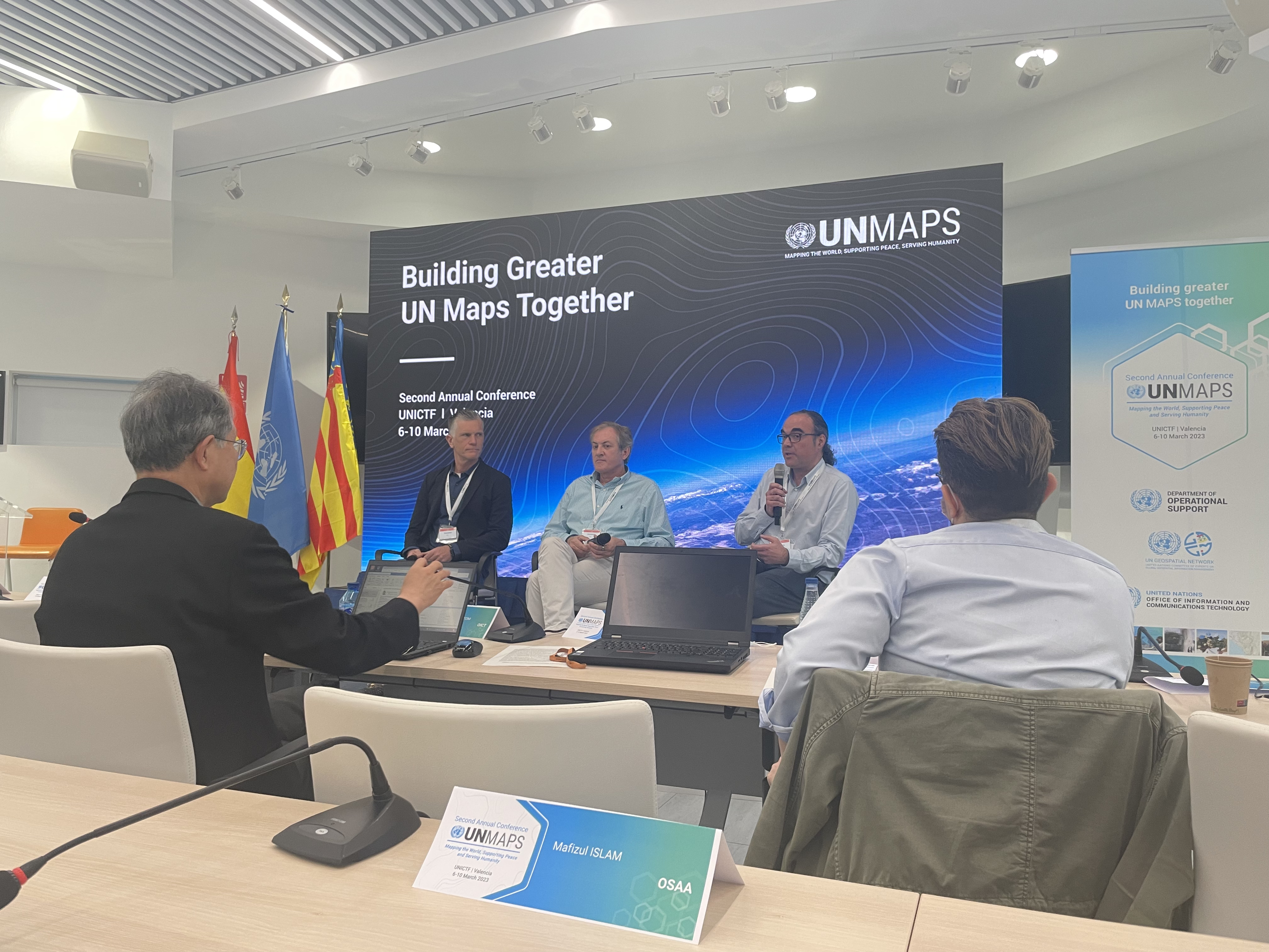
The Second United Nations Maps Conference took place at the United Nations Information and Communications Technology facility (UNICTF) in Valencia, Spain, between 6 and 10 March 2023. It brought together around 45 entities and external partners to strengthen coordination, collaboration and the capacity of geospatial information to meet global challenges.
The conference created a space to reflect on how geospatial data and services can help address issues like climate change, food insecurity and access to care and education to ensure peace and justice for all countries. "Building greater UN Maps Together" was the central theme, and the event showcased one of the UN's most innovative projects: UN Maps. Currently used in peacekeeping, UN Maps uses a crowd-based data collection, a (semi-)automated data pipeline, online analytics tools, and self-service geospatial applications for accessible, secure, and interoperable data services.
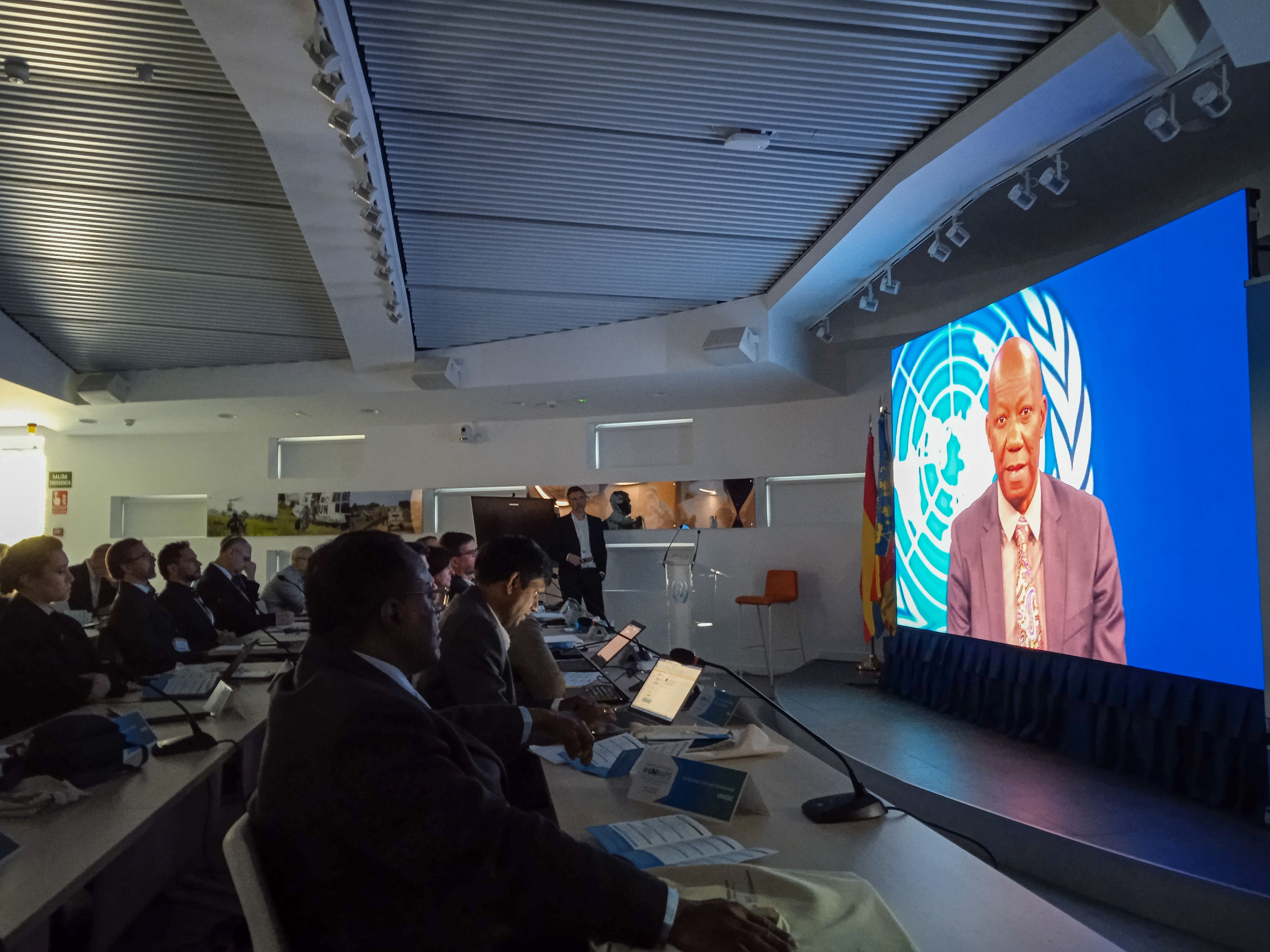
Day One kicked off with a welcome from the Chief of SGITT, Mr Michel Bergeron, and an inspiring video message from the UN Chief Information Technology Officer, Mr Bernardo Mariano Junior. It continued with a general overview of the progress UN Maps has made from Mr Kais Zouabi, Chief of CSDS, followed by Mr Alexandre Caldas, Chair of the UN Geospatial Network and Chief Country Outreach, Technology, Innovation and Big Data at UN Environment Programme (UNEP), who introduced the One UN Geospatial Situation Room concept and explained how UN Maps services would leverage this initiative. Finally, Mr Kyoung-Soo Eom, Chief of the UN Geospatial Information Section, reported on the UN Geospatial strategy aimed at providing universal geospatial data and enhancing its benefits, capacity and expertise, raising awareness and harnessing international partnerships.

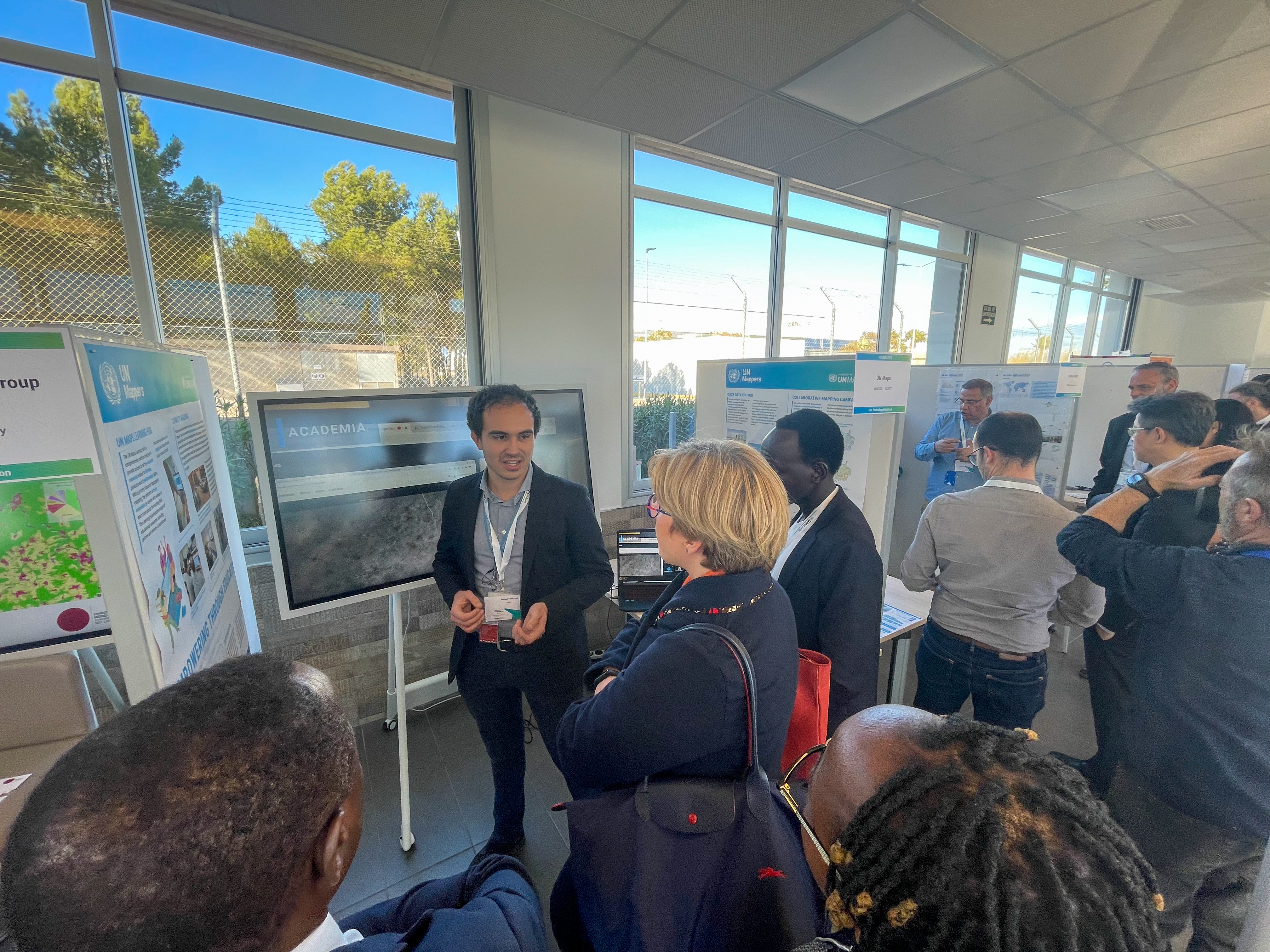
Representatives from six UN entities (UNICEF, UNESCO, FAO, UNFICYP, WHO and UNFPA) showed how fast, reliable, accessible, disaggregated and detailed geospatial information measures our progress toward the Sustainable Development Goals. Mr Kersten Jauer, Deputy Director, Strategic Planning and Monitoring at the Executive Office of the Secretary-General, explained how improving our capacity to collect and analyze location data is part of Digital Transformation at the UN. Then, Ms Esther Kuisch Laroche, Director of the Division of Partnerships and Specialized Support from the Department of Safety and Security (UNDSS) delivered an insightful keynote speech on the importance of collaboration and partnerships at the United Nations and how UN Maps support UNDSS by supporting Security officers and Close Protection Units based in field missions with their daily operations. At the end of the day, Mr Michel Bergeron, Chief of Service for Geospatial, Information and Telecommunications Technologies at UNGSC and Mr Juan Ignacio Torregrosa López, Director General for the Advancement of the Digital Society at Generalitat Valenciana, officially opened the Tech Fair and Exhibition, which were a chance for UN staff to browse the state of the art technologies related to the Internet of Things, Digital Twin, Extended Reality, UAVs, geo-analytics and to see them in action.
Day Two saw discussions around the future of mapping at the UN, how UN Maps is powering business solutions such as Unite FRIM, Unite Aware and UNDSS' PSR Recce, and how ITU and UNGSC are using Geo AI and image analytics. Proving that geospatial data, technology and the Integrated Geospatial Information Framework address operational challenges and support the SDGs.
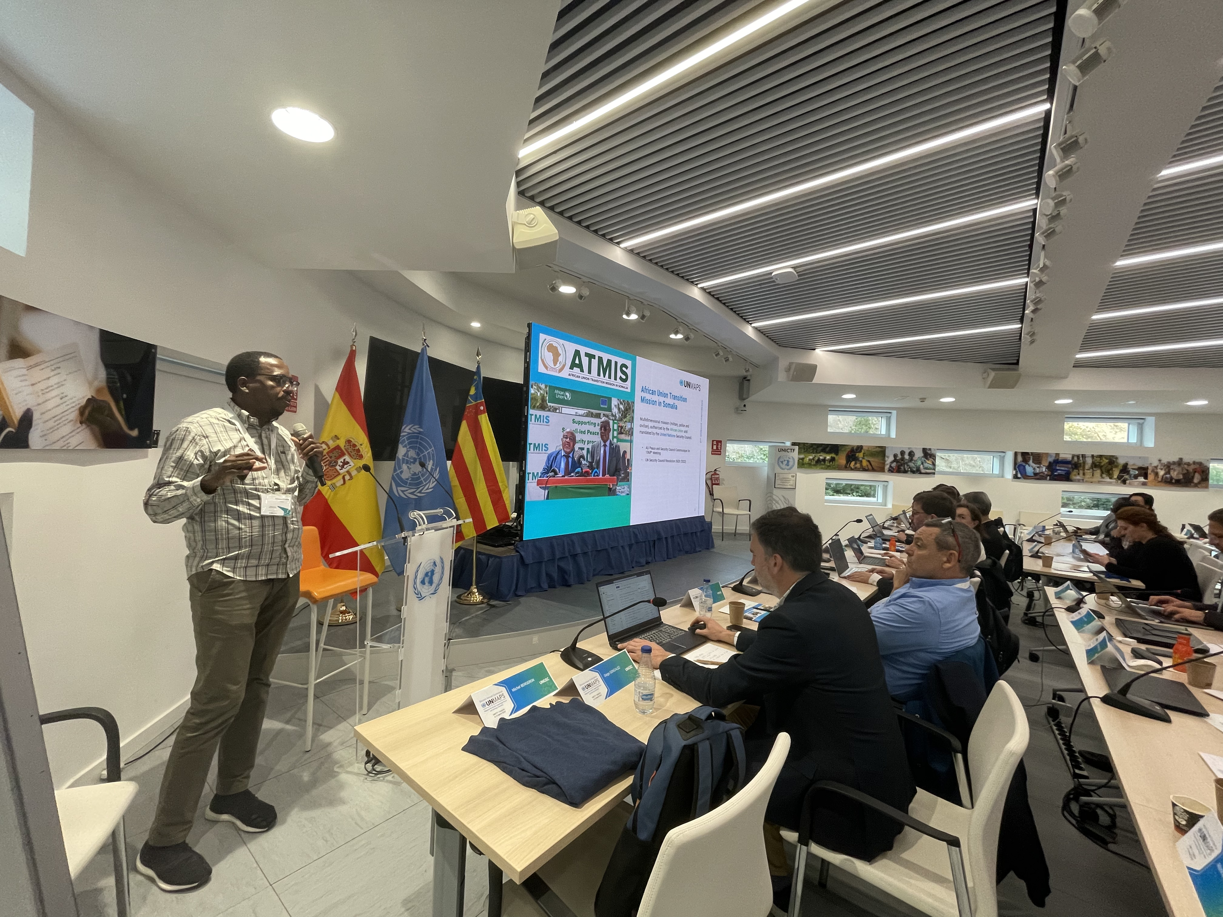
Day Three was about data management, governance, and information sharing, with technical demos showing what UN Maps can do. UNGIS helps us visualize our work by using internal UN and open-source data to create UN Maps that add value to Peacekeeping operations. For example, UN Maps leverage transportation networks to create navigation tools also used by WFP in their emergency relief logistics. In the afternoon, there were presentations and panel discussions about earth observation and imagery services and workflows, population distribution, geographical names and gazetteer data.
During Day Four, the participants dove into the enabling technology, including the cloud infrastructure, hosting services and the GIS Workspace service. We explored how UN Maps provides brilliant, user-friendly base maps and, more importantly, Maps on Demand (MOD) empowers people and communities to get involved in map-making. The MOD web application supports users to host, share and disseminate location-based content via the Unite GeoPortal, allowing the creation of 3D visualizations, Digital Twin, and data visualization through Geo-data as a Service.
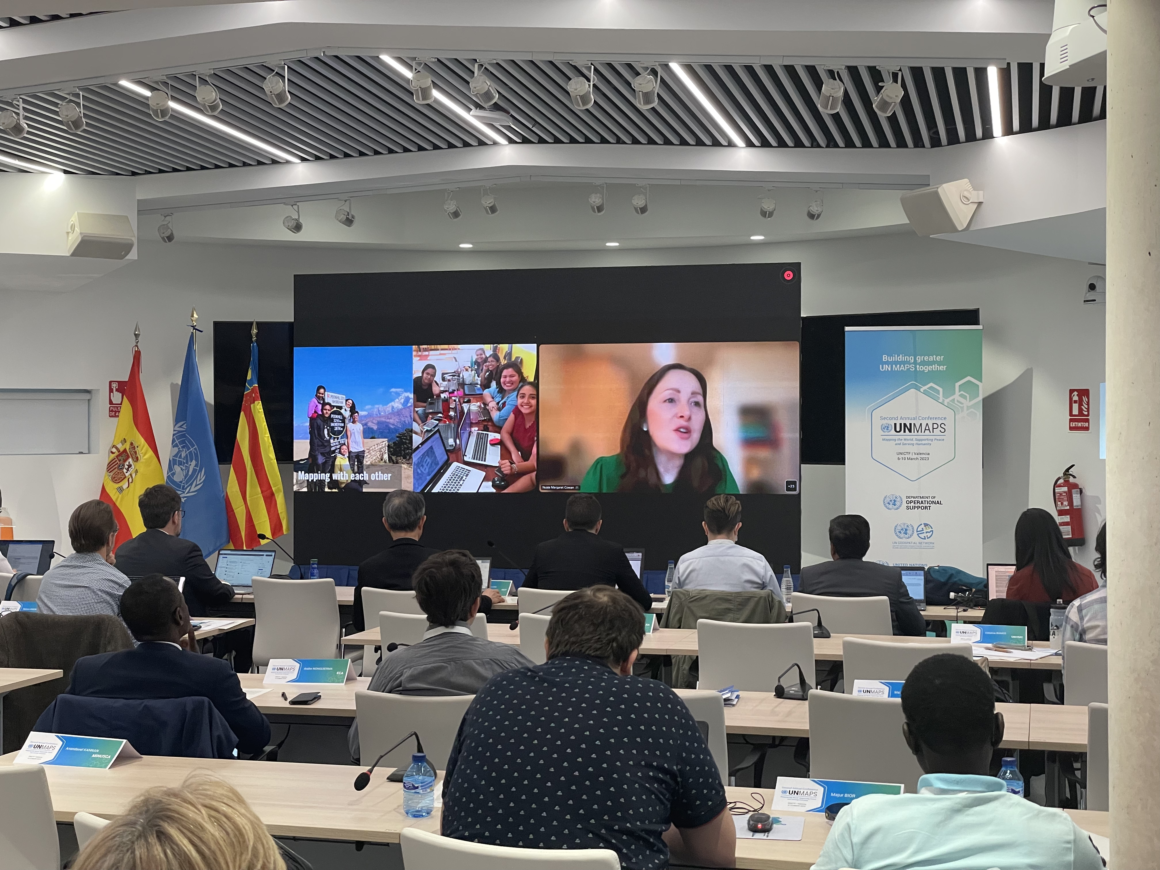
The last day of the conference was a chance to look forward to collaboration opportunities with presentations and discussions from partners in academia, the UN Geospatial Network, international non-governmental organizations dedicated to promoting open data, such as the Humanitarian OpenStreetMap Team (HOT) and Youth Mappers. There were discussions about the relationship with the Member States and acknowledgement of the ongoing efforts of the UN Mappers community, mapping coordination, capacity building and crowdsourcing events.
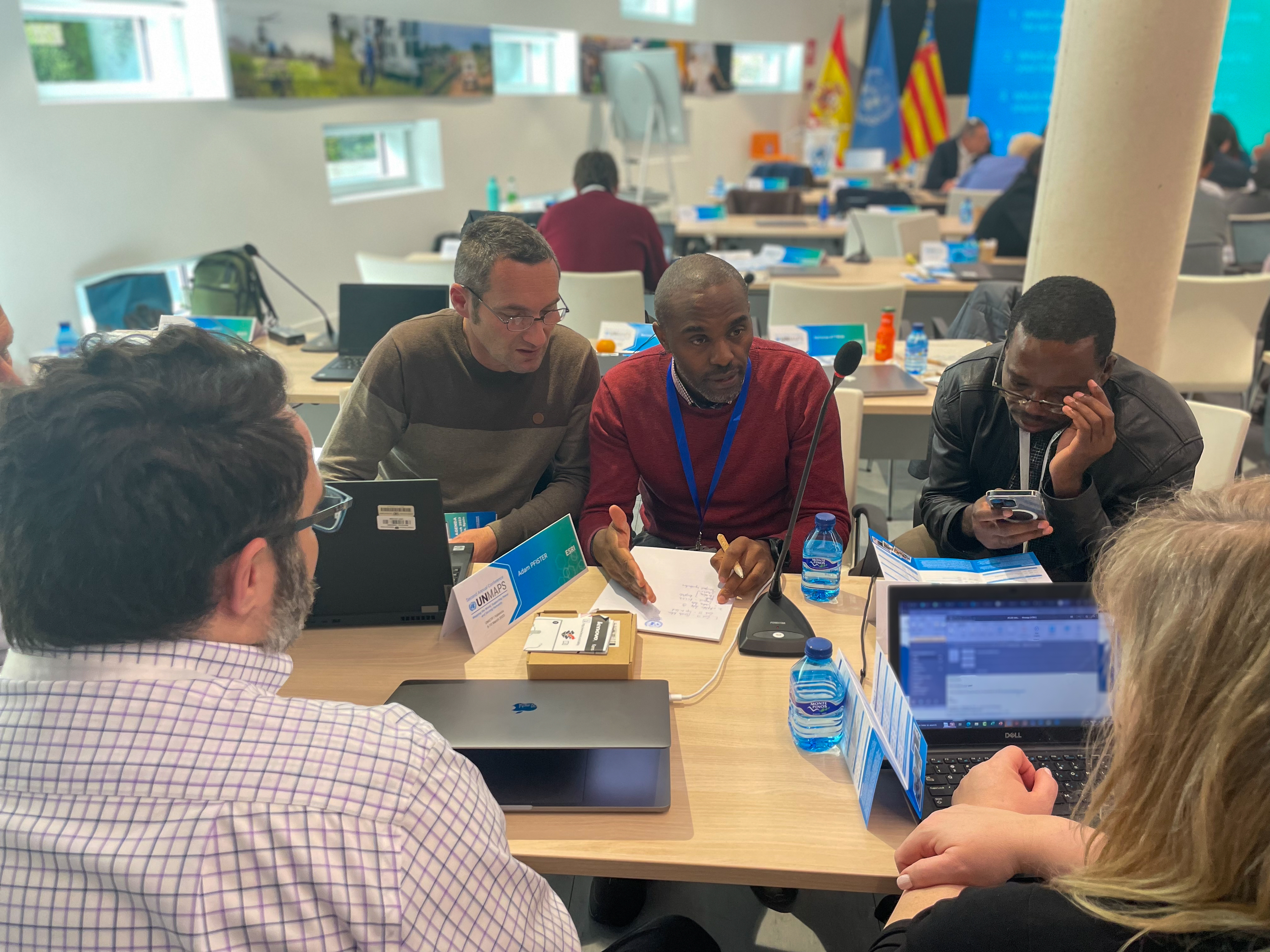
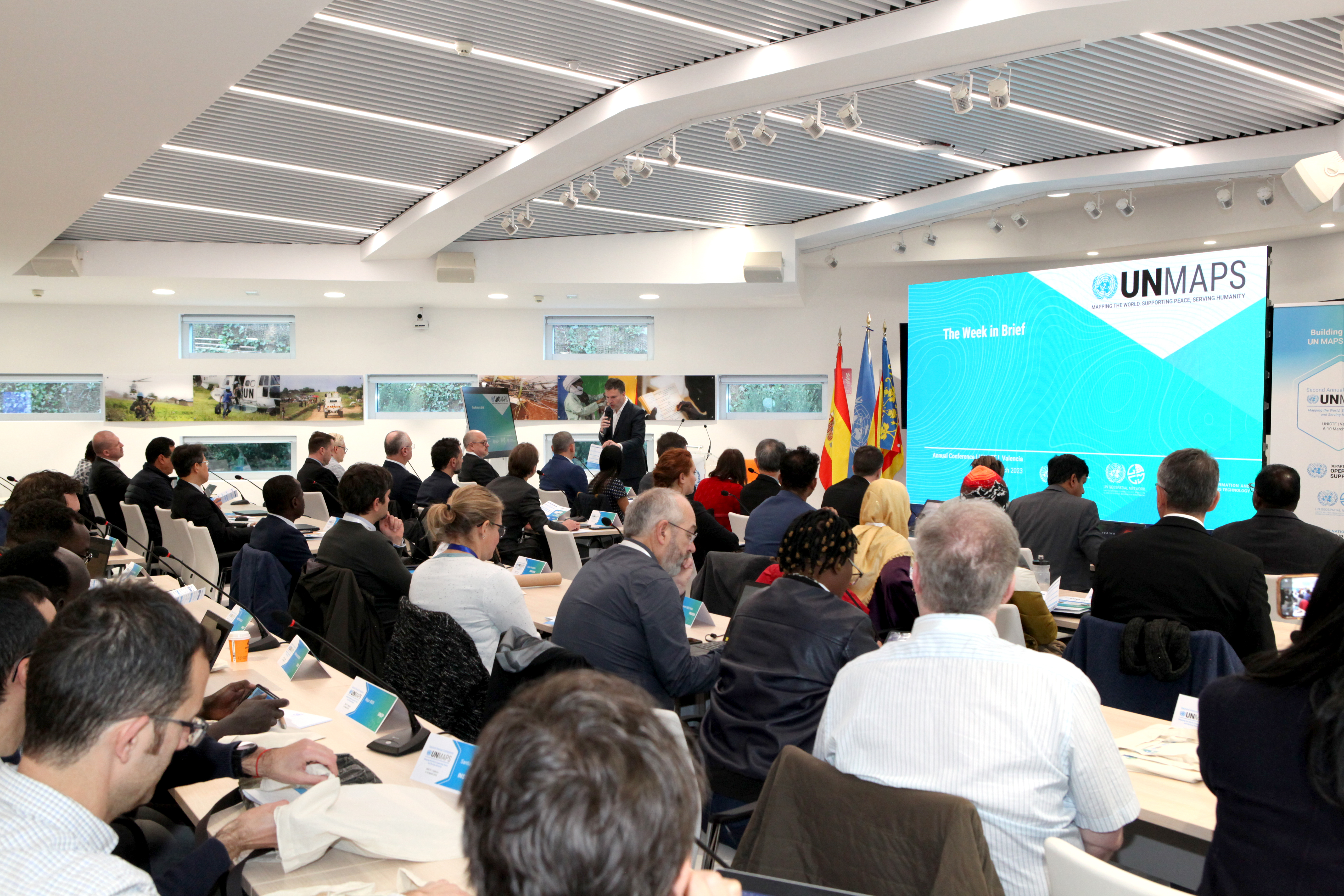
During these five days, participants shared their experience and discussed their current ongoing efforts within the UN Secretariat, UN System, and beyond, to develop capacities, data workflows, services, infrastructure, tools, and solutions toward addressing the challenges on peace and security, human rights, international law, development, and humanitarian aid. Participants also discussed how these efforts could be pooled and coordinated to develop an evidence-based decision-making and data driven action plan. Based on the conversations exchanged during the Conference, the participants agreed to release a formal Valencia Declaration that stressed the need to strengthen coordination, collaboration and sharing mechanisms on geospatial information within the United Nations system and beyond and establishes UN Maps as a key enabler for this endeavour, including the support of the One UN Geospatial Situation Room. Additionally, the participants collectively agreed on various tangible action points that will be developed over the coming period with the objective to implement and put in practice the ideas expressed during the Conference.
Overall, the conference was a success and a chance to celebrate the ongoing efforts within the UN Secretariat, UN System, and beyond in using GIS to address challenges around peace and security, human rights, international law, development, and humanitarian aid. Collaboration was at the heart of the 5-day event. Meeting face-to-face allowed participants to recognize how their collective efforts could develop evidence-based decision-making and data-driven planning. Finally, based on the conversations at the conference, the Valencia Declaration was established to tangibly strengthen coordination, collaboration and sharing mechanisms on geospatial information within the United Nations, using UN Maps as a key enabler for this endeavour. The declaration also bolstered the support of the One UN Geospatial Situation Room and resulted in a set of action points to implement the ideas generated by the conference.
For further information, please get in touch with Diego Gonzalez Ferreiro (gonzalezferreiro@un.org), Chief, Solutions and Support Unit at CSDS and UN Maps Product Manager and follow us on our social media to stay up to date with all the UN Maps news https://mappers.un.org/news/social-media