Workshop on Capacity Building for Geospatial Information Actors in Bamako, Mali - September 12-16, 2022
Following exchanges between the Geospatial Information Section of the United Nations and the Geographical Institute of Mali within the activities of the United Nations Committee of Experts on Global Geospatial Information Management (UN-GGIM), in Africa (UN-GGIM Africa) and of the Second Administrative Level Boundaries (SALB) programme, the offices agreed to organize a workshop for the development and capacity building for actors on geospatial information in Mali.
The workshop had the goal of revitalizing the national policy concerning geospatial information, the implementation of laws concerning good national and regional governance, bringing together national players in geospatial information, as well as building capacities of national structures, headed by the Geographical Institute of Mali, for the efficient use of tools and methods to process geospatial data.
During the event open data was also promoted, as a mean to share accessible and reliable geospatial data for the processing, extraction, aggregation and visualization of data for national priorities and their use in order to measure and contribute to the Sustainable Development Goals.
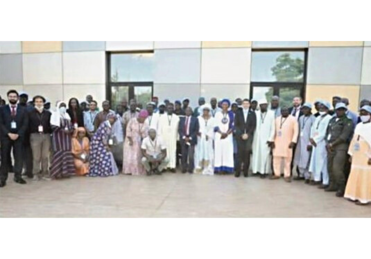
In addition to the United Nations Geospatial Information Section and the Geographical Institute of Mali, the partners involved in the workshop are:
-
the United Nations Statistical Division;
-
the United Nations Economic Commission for Africa;
-
the United Nations Global Service Centre;
-
the United Nations Multidimensional Integrated Mission in Mali (MINUSMA)
-
the Columbia University (CIESIN);
-
the Geo-Referenced and Democratic Data for Development (GRID3) program;
-
the Bill & Melinda Gates Foundation.
Kick-off and meeting on the “Politique Nationale de l’Information Géographique” (PNIG)
During the opening ceremony there have been interventions from the representative of the mayor of the municipality IV of the Bamako district, representatives of the Geospatial Information Section and the Economic Commission for Africa of the United Nations, the Director of the Institute Geographique du Mali.
Before officially starting the works, Madame le Ministre DEMBELE Madina SISSOKO, Minister of Transport of Mali, held an opening speech by welcoming the participants and highlighting the importance of the geospatial information, data and its harmonization at the national scale and cooperation between all the actors.
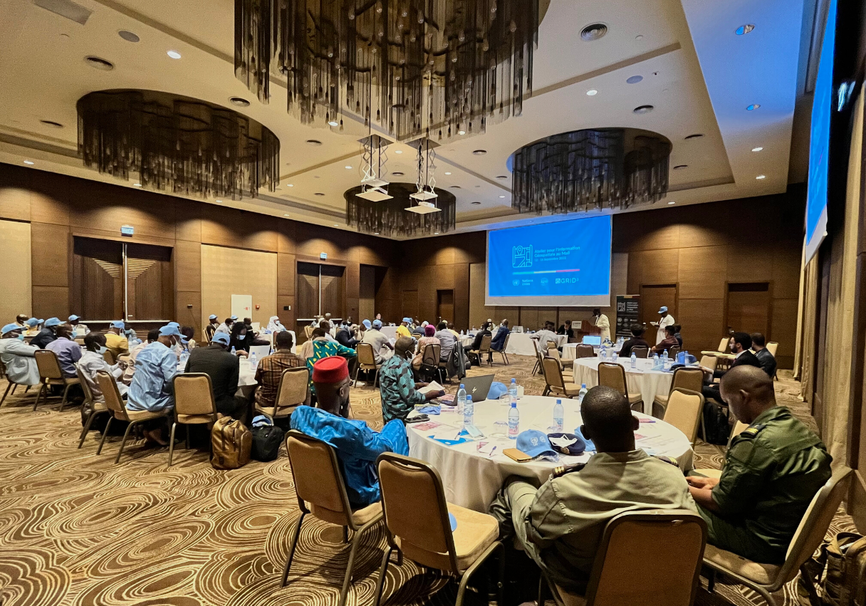
Then, works at the atelier officially started, with sessions from the representatives of the United Nations about the alignment of geospatial policies at the global and continental level.
The importance of geospatial information has been remarked, especially in the context of reinforcement of decision-making processes, reduction of risks and catastrophes, climate change and sustainable development. The Integrated Geospatial Information Framework (IGIF) was introduced as a tool to help the actors understand how to leverage geospatial information to solve national priorities, and a practical exercise has been conducted with the participants to develop 9 main themes adopting the IGIF, including politics, governance, society, education, finance, and technology.
The exercise demonstrated the importance of collaboration between individuals and organizations, adoption of guidelines, development of fast solutions and protocols, engagement with the local communities and sharing of the data.
Presentations from geospatial actors in Mali and visit to IGM facilities
Later on, the different geospatial actors in Mali presented their geospatial and statistics offices and organizations and the activities they are carrying on at the national scale.
The IGM remarked that definition of the PNIG can indeed help all these organizations and the country to solve the problems associated with the correct establishment of boundaries between different municipalities and to implement policies and law within the territory. All the steps to implement the PNIG were presented, including organization of workshops and conferences at the national level, drafting and validation of official documents, inter-ministerial consultations, presentation of an action plan and definition of the budget.
It also presented challenges the IGM faces every day, including the digitalization of the cartographic services and the available infrastructure. Specifically, a visit to the IGM facilities has been done in order to access the current situation of the technology and geospatial outputs produced by the national cartographic agency.
Training on OpenStreetMap data editing and usage
During the workshop it was also organized a full-day training on open data and OpenStreetMap by the UN Mappers team. The project and its history have been presented, showing how the database is widely used by different commercial and non-profit organizations nowadays. We presented also the advantages given by the adoption of open data for certain operations, like ease of update, cost saving and development of partnerships, as well as its disadvantages (usage for authoritative applications and data homogeneity)
After that, we have dived into the OpenStreetMap data model and community, and how to edit and use open geospatial information for any application.
OpenStreetMap Mali, which has been invited to the workshop, has also showed the mapping and educational activities the group is carrying on over Bamako and Ségou with volunteers and students of geography and geology in different universities in Mali. They remarked the importance of collaboration with authorities, partners, and other geospatial actors in the country, and suggest the importance of setting up more educational activities and communities of volunteers.
Trainings on GIS and drones
The last days of the workshop were dedicated to technical trainings on the usage of open-source GIS software and drone imagery.
Trainers from GRID3 program showed how open-source GIS software can be used for the development of authoritative datasets and the execution of several tasks including estimations of population, boundary delimitations, cadaster activities, localization of critical infrastructures and mobility analysis.
Colleagues from the UN Peacekeeping mission in Mali, MINUSMA, showed how to use drones to collect aerial imagery, including the setting up of survey projects, the analysis of the data and best practices, as well as the interactions with national aviation agencies and hands-on exercises.