The UN Mapper of the month - November 2023
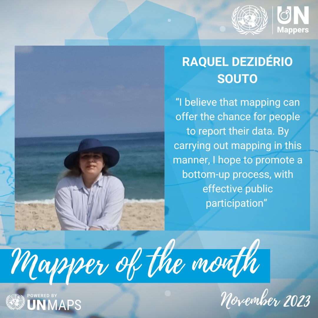
Meet Raquel Dezidério Souto, our November 2023 Mapper of the Month. Raquel is a passionate advocate for Free and Open Software, President of IVIDES.org, and a Ph.D. in Geography from Brazil. She participated in our Global training in Portuguese and she empowers others through her "Mapping with OpenStreetMap" course. We asked her to tell us about her journey.
Tell us a bit about yourself.
I am a Free and Open Software enthusiast! President of the IVIDES.org. Brazilian Postdoctoral researcher in collaborative mapping and crowdsourcing (PPGG-UFRJ, Brazil). Doctor of Science (Geography) and Master of Science (Population Studies and social research). Oceanographer. Responsible for the open and self- enrollment course "Mapping with OpenStreetMap" (https://ivides.org/curso-osm-2023). My current research includes the application of collaborative mapping to infer the overall quality of the coastal zone, adopting the State of Rio de Janeiro (Brazil) as my pilot area of interest.
How did you know about UN Mappers?
I got to know the UN Mappers community through the UNGSC portal (UNGSC.org) and the UN Mappers social media (Facebook and Instagram), where the "Fundamentos do OpenStreetMap" training course caught my attention.
You participated in our global training in English. How did it seem to you? Which topic did you find the most interesting?
The course is excellent, with complete coverage of topics and many practical activities for the effective formation of the mappers... and not just train and convert them into "software pilots" (individuals that use the geoinformation software but does not understand well what they are doing). The inclusion of the mapping of the rural environments, that are difficult to access or distant from urbanized areas, offered a plus in the training, since the courses have been frequently focused on urban areas of interest and contemplating a few themes, such as: Geo visualization, urban environments mapping, disaster risk reduction (and humanitarian) mapping, gender mapping or other very specific thematic. But the topic that attracted me most was the mapping of hydrography because it involves various aspects and we were able to count on a geographical approach from the instructor, Dr. Severin Menard.
When do you map? (Weekends, free time, in your working time?)
I usually map in my free time (and really... it is extraordinarily little time nowadays) or when I am teaching courses to our own network of students, teachers, and other professionals, who are interested in becoming an OpenStreetMap mappers. I also try to participate in some activities (mapathons) coordinated by partners and other institutions with which I have established relationships, such as the UN Maps and its UN Mappers Community.
Do you enjoy mapping? Why?
I am currently mapping to collaborate with the generation of data and information on a local scale (local spatial knowledge), in countries that have low spatial and temporal mapping coverage. Specifically in relation to my current research project - development of a web application for the collaborative mapping of various aspects related to the quality of coastal and marine areas, I believe that mapping can offer the chance for people to report their data. By carrying out mapping in this manner, I hope to promote a bottom-up process, with effective public participation (and not just a top-down process, as is often done in the official mapping campaigns). Technically, the programming development for web mapping and the adoption of crowdsourcing have provided the challenge that I need to continue learning.
I am currently mapping to collaborate with the generation of data and information on a local scale (local spatial knowledge), in countries that have low spatial and temporal mapping coverage. Specifically in relation to my current research project – the development of a web application for collaborative mapping of various aspects related to the quality of coastal and marine areas. I believe that mapping can offer the chance for people to report their data. By carrying out mapping in this manner, I hope to promote a bottom-up process, with effective public participation (and not just a top-down process, as is often done in the official mapping campaigns). Technically, the programming development for web mapping and the adoption of crowdsourcing have provided the challenge that I need to continue learning.
In which countries do you map the most?
Brazil, The Democratic Republic of the Congo, and Central African Republic.