GEOdaysIT in Bari, Italy - June 12-17, 2022
The recently concluded GEOdaysIT conference that was held from June 12th to June 17th at the Politecnico di Bari and the University of Bari showcased the potential of Free and Open Source Software for Geospatial (FOSS4G) and open geospatial information.
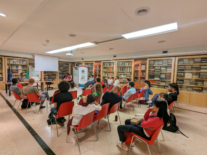
The event was composed by 3 different gatherings concerning geospatial information. From June 12th to June 14th, the conference focused on latest developments on remote sensing both concerning ground-based technologies and data analytics. From June 15th to June 16th, FOSS4G-it took place, in which it has been discussed on new publicly available software for geospatial, use cases in several environmental and planning operations and the workflows on how to better collaborate to build software together. In June 17th, OpenStreetMap Italy hosted OSMit, the annual meetup of the Italian mapping community. During the day several applications of OpenStreetMap data were showcased, including data pipelines, 3D visualization and challenging mapping projects. At the end of the day, OSM Italy discussed how to improve on next conferences and expand the community.
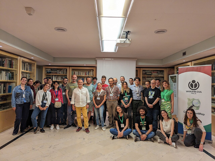
The conference has been an occasion also to meet up with the open-source Italian community and discuss possible collaboration with local universities and digital volunteers.