Training with universities and highschool in Valencia, Spain - November 10-17, 2022
Last month, the UN Mappers team carried out a series of activities in the Valencian Community, Spain, with the dual purpose of raising awareness of the UN Maps universe and training participants in the use of OpenStreetMap open data. Two prestigious universities, Universidad Jaime I (UJI) in Castellón and Universidad Politécnica de Valencia (UPV), and secondary school students from the Entrenaranjos International School, were involved.
Workshop at the Universidad Jaume I - Castellón de la Plana
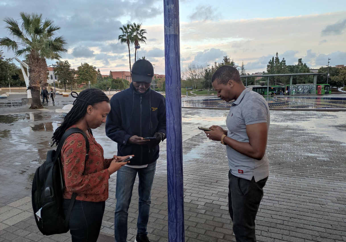
Organised thanks to the collaboration of Michael Gould, Joaquin Huerta Guijarro and Nicolas Luna Arevalo; the workshop at UJI was focused on providing master's students of Science in Geospatial Technologies with instruments for the creation and use of open data. On 10 and 11 November, after a presentation on the tools and services provided by UN Maps to support peacekeeping operations, we worked in the field, capturing security and emergency data around campus with the mobile application Every Door, and uploading them to OpenStreetMap. We then explored with the students how it is possible to use this data on GIS software for further analysis.
The course continued with a series of online sessions, where students were able to learn more about OSM editors and aspects of remote mapping in the African context.
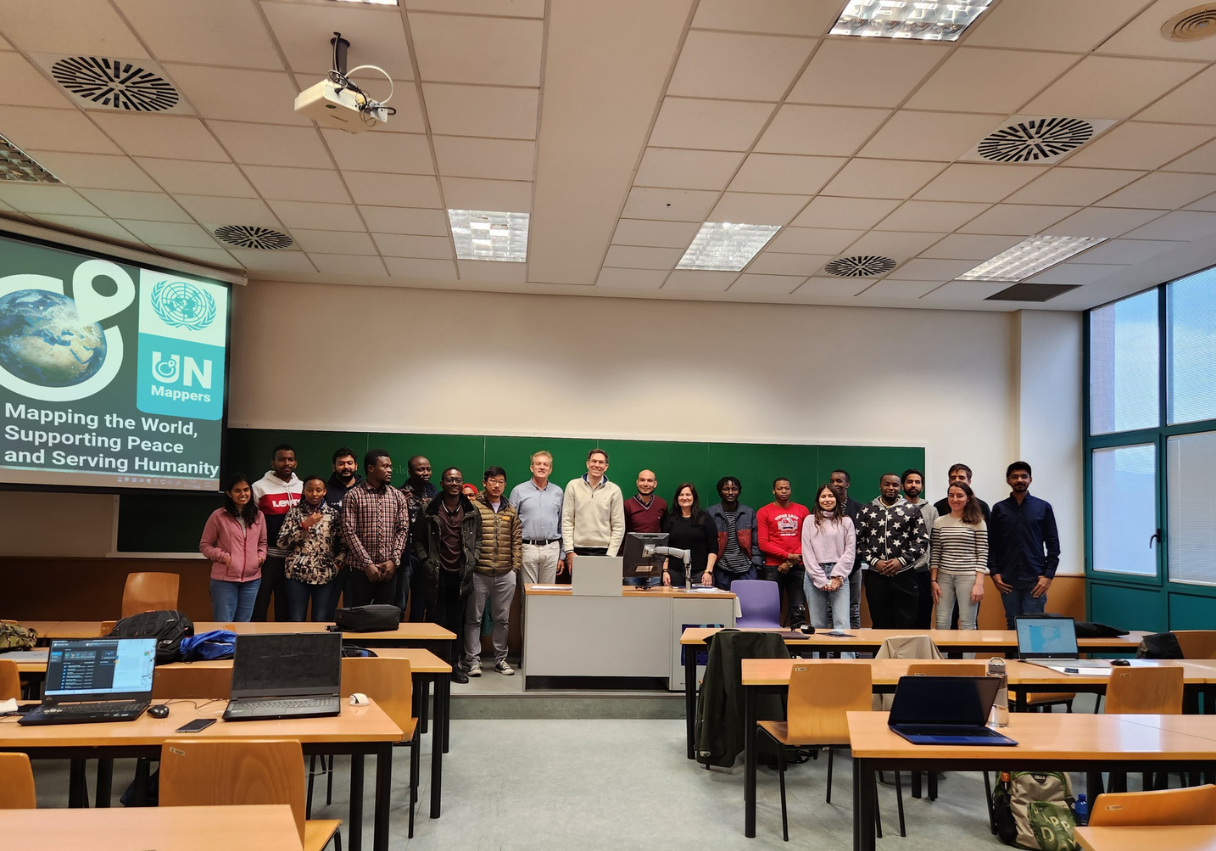
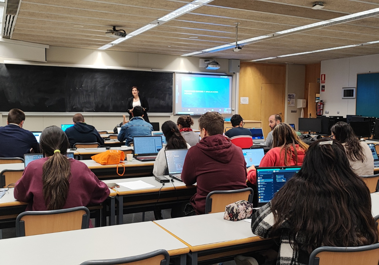
Training at Escuela Técnica Superior de Ingeniería Geodésica, Cartográfica y Topográfica of the Universidad Politécnica de Valencia
The course, aimed at a group of volunteers consisting of students, PhDs and academics, took place from 14 to 17 November in a hybrid format, involving participants from Spain and Latin America. The objective, besides providing participants with new skills for their daily activities, was to train a group of mappers ready to be activated to provide their support to peacekeeping missions and our partners in situations of emergency or need, through an in-depth study of UN Maps services, OSM tools and mapping in the African context. Field mapping was also tackled with the attendees, dedicating two hours to map the campus security and emergency features.
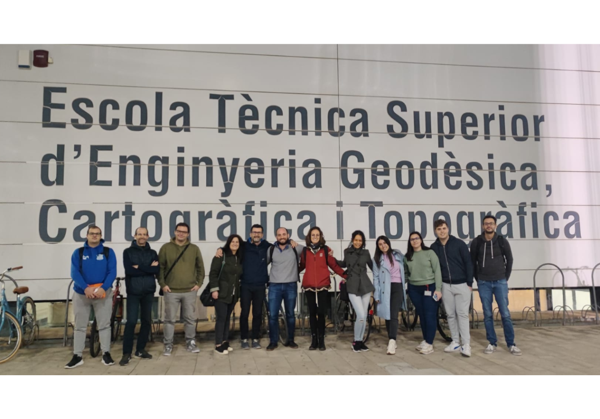
The collaboration was made possible thanks to the efforts of Ángel Marqués-Mateu, Ángel Esteban Martín Furones and Natalia Garrido-Villén.
Mapathon at Entrenaranjos International School - Valencia
Can a simple gesture change a life? This is the question we addressed to the students, representing a wide range of countries around the world, aware of how important it is for the new generations to put into practice the knowledge they have acquired during their school career.
On Thursday, 17 November, welcomed by Rafael Arias Guardiola, María Arias Guardiola, and Esperanza Moreno, together with the students we saw how peacekeeping missions carry out their daily work and how fundamental cartography is for humanitarian activities.
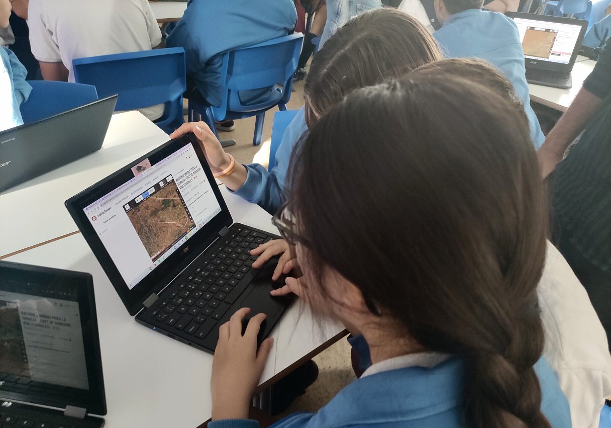
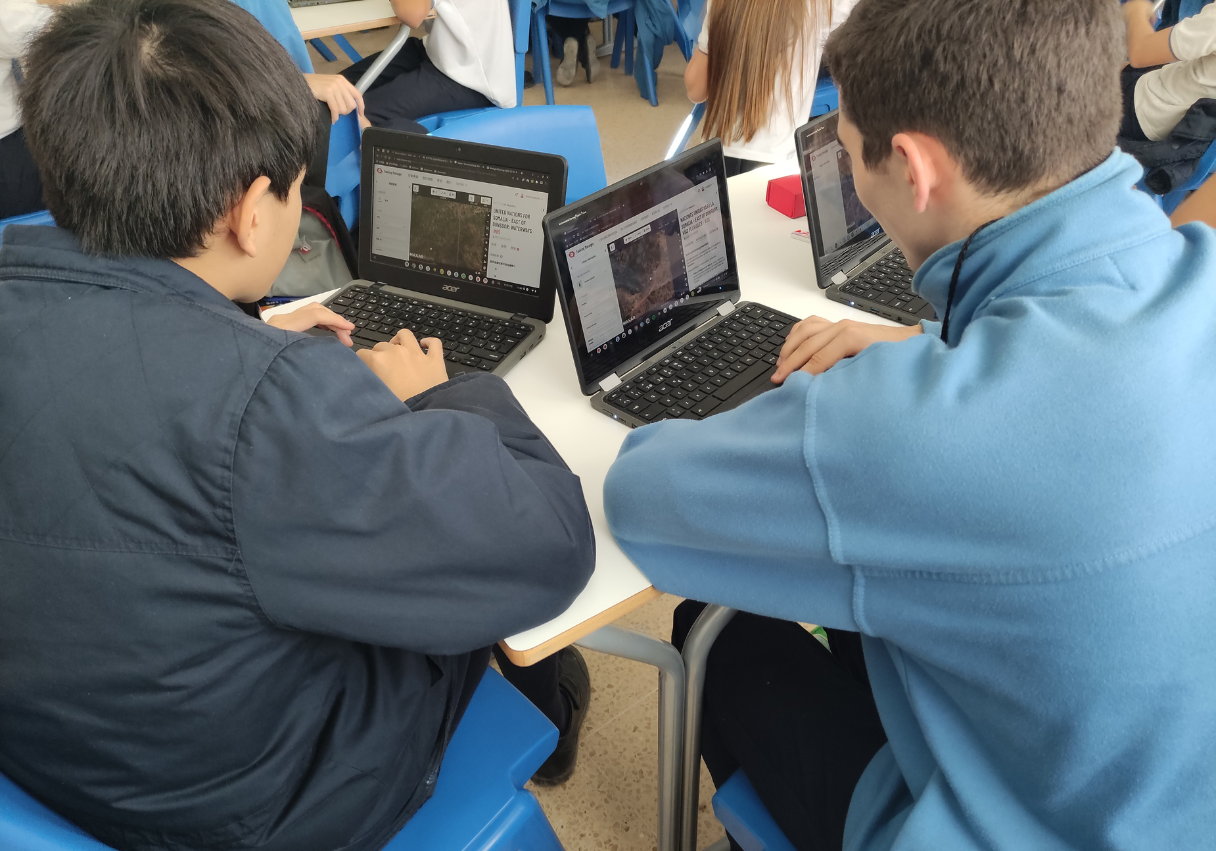
Over the course of two hours, the students mapped rivers and streams in a remote region of Somalia, supporting UNSOS mission, and experiencing how from their laptops they can provide help and fill a hitherto blank space, making a real impact.